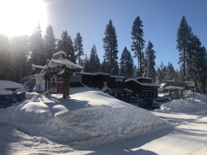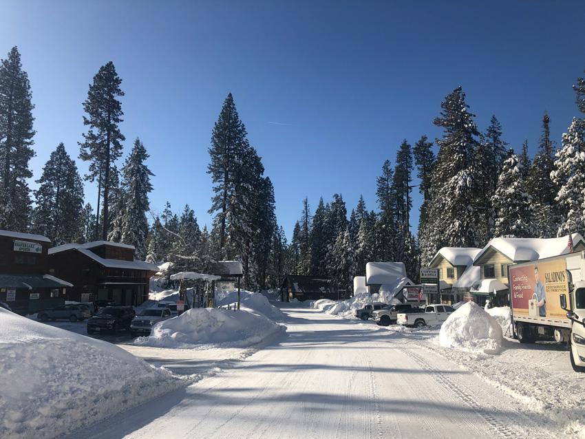
Moving from one storm to the next, local weather systems have brought unexpected rain totals, snow levels and wind advisories over the last 10 days. On the heels of last weekend’s winter storm that closed down Highway 168 up into the Shaver Lake area, another rainy and snow weekend looms.
This month, the total rainfall is currently at 2.11 in. Compared to last year at this time, the total rain amount for February was .37 in., according to University of California Pomegranate Lysimeter Project.
According to AccuWeather Feb. 13 predictions, high wind, rainfall and three-six ft. of snow is predicted to hit the Sierra Nevada above 7,000 ft. in elevation. Central and Northern Sierra Nevada area can expect around eight ft. of snow. Wind is predicted to reach up to 60 mph in lower elevations.
In Southern California, two-three in. of rain is predicted from the coastal storm. Mountainsides north of Los Angeles are predicted to get up to six in. of rainfall.
Southern parts of California is now considered to be in moderate to severe drought. Less than three months ago, only 10 percent of California was in a moderate drought and nothing considered in a severe drought according to The New York Times.
The Friant Dam released 448 gallons of water per minute to leave enough room for the upcoming storm. Over 32 percent of the reservoir’s regular capacity is reserved for flood control. When the capacity reaches 750 ft. per second, the emergency action goes into plan. The dam is being closely monitored, according to The Fresno Bee.
For more Feather photos, visit media, photos 2018-19.


