

About a hour away from Fresno in Auberry, the 7.6-mile Pa’san Ridge Trail spreads across the vast rocky and hilly terrain. The early morning sun beats down on you as the breeze keeps you cool. The soft earth beneath your feet compresses the dirt, leaving your footprints behind. The view of the trees and mountains surrounds you, making you feel as if you are in a different world.
This trail takes approximately three to four hours with some scenic resting spots all along the way. The trail does have service at the top of the ridge, but is spotty in other locations. A surplus of supplies like extra water, snacks, first aid kit is recommended, just in case.
The trail gains 1,571 feet throughout the trek. The hike highlights scenic views along the trail with cattle roaming freely. The trail itself is moderately challenging with a big uphill/downhillsection depending on which way you hike.
The drive goes up Highway 168 for about 40 minutes. Take a left on Auberry Road, continue on Auberry until the road forks, and you see Powerhouse Road on the left. Then you will take Powerhouse until you see Smiley Road and make another left. Follow this road to the parking lot at the bottom of the hill. The drive takes around an hour to an hour and a half to complete because of the curves, but goes by pretty quickly due to the scenery.
Bring a supply of water to last you four hours. We brought one large Gatorade and four bottles of water. For snacks, we brought whatever we felt like eating but some good hiking snacks are candy bars and nuts, anything with a small size and high calories.

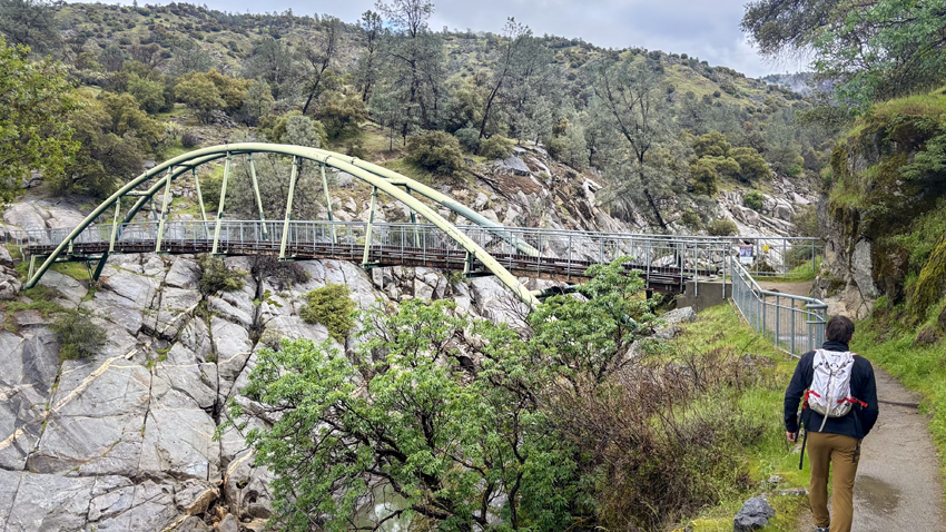
The trail head starts right off from the parking lot and takes around 20-30 minutes to get to the bridge. The view from the bridge presents the San Joaquin River flowing underneath as you cross. The view from the middle of the bridge is breathtaking. The river opens up the mountains leaving a clear view of the river. The hikento the bridge alone is worth a trip.
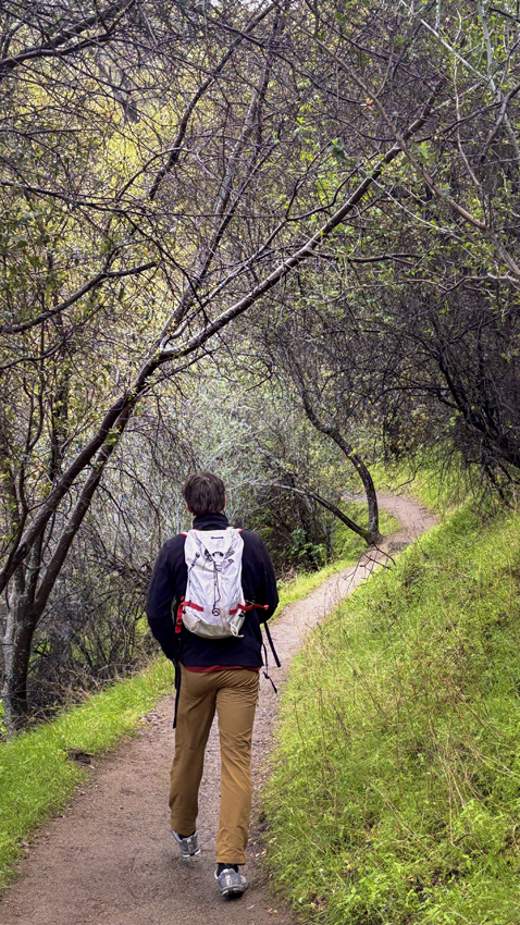
On the other side of the bridge, you choose left or right to start the loop. If you want to get the uphill section over, choose the right path. This begins the uphill trek almost immediately but once you reach the top it’s a mellow downhill hike from there. If you take the left path it’s the exact opposite – gradual uphill to the top then a steeper downhill
The path is scattered with rocks rising up from the ground below. We took the Right path and would definitely recommend it. The uphill is nicer to just get over with in the cool of the
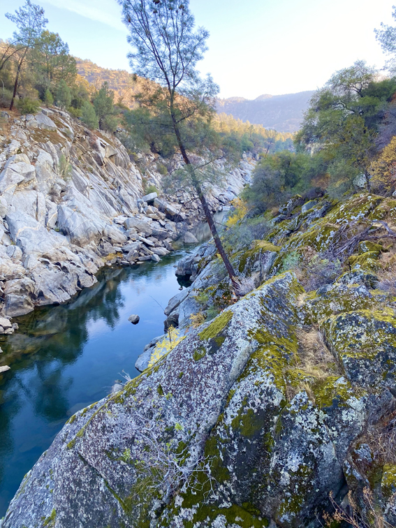
morning. The view of the top of the ridge presents a view down onto the river from a further perspective and the valley in the background.
Nathan McEntee and I had a great time on this trail and are looking forward to doing it again. The moderate difficulty kept the hike fun and interesting as well as the rocky trail. The diverse terrain adds a little bit more thinking than just walking up a trail, you get to choose your line.
We took time to watch some of the cattle grazing in the fields. We only saw one group of two on the trail with us and they were friendly. This hike was really fun to do and kept us on our toes with intriguing obstacles along the way.
For more from The Feather online visit Rock climbing gym offers alternative student activity or Snowboarding and skiing provide weekend getaway